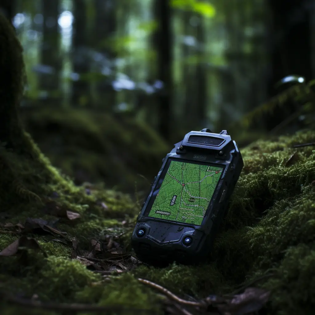
ATV riding is not just an adrenaline-pumping activity; it’s a journey through unexplored paths, a dance with nature, and a truly unique way to experience the great outdoors. However, navigating those lesser-known trails can be challenging. This is where GPS apps come to your rescue. To help you keep the excitement alive without losing your way, we have compiled a list of the best GPS apps for ATV riding.
Before we dive into our top picks, it’s important to note that a GPS app can be a game-changer for your off-road adventures. From tracking your ride to finding new trails and even emergency assistance, the right app can offer a multitude of features that make your trips safer and more enjoyable.
Polaris Ride Command
Notable Features:
- Group ride feature
- Offline map functionality
- Trail statistics and recording
Why You Should Choose It:
The Polaris Ride Command app is tailor-made for off-road enthusiasts. It allows you to track your journey, locate other riders in your group, and even provides emergency location services. The interface is user-friendly, making it easier to operate while you’re on the move.
Maplets
Notable Features:
- Detailed park and trail maps
- Offline access
- Custom annotations
Why You Should Choose It:
Maplets is your go-to app for accessing detailed park and trail maps. The best part is that it offers offline map accessibility, meaning you won’t have to worry about losing your way if you’re in a location with poor cell reception.
ViewRanger
Notable Features:
- Skyline augmented reality
- Public land maps
- Topographic details
Why You Should Choose It:
ViewRanger offers a unique Skyline augmented reality feature, where you can use your phone’s camera to identify peaks, places, and other geographical features around you. This is especially helpful when you’re exploring new trails.
AllTrails
Notable Features:
- Over 100,000 trails
- Trail reviews and photos
- Real-time map overlays (weather, air quality)
Why You Should Choose It:
AllTrails is a community-driven app that gives you access to over 100,000 trails, complete with user reviews and photos. The real-time map overlays for weather and air quality are beneficial for planning your ride.
BackCountry Navigator
Notable Features:
- Topo maps and aerial photography
- Waypoint navigation
- Record GPS tracks
Why You Should Choose It:
If you’re an avid explorer who likes to chart your own course, BackCountry Navigator is the GPS app for you. Offering detailed topo maps and aerial photography, it’s perfect for those who want to go beyond the beaten path.
GAIA GPS
Notable Features:
- Map layers for hunting, hiking, and public lands
- Offline maps
- Real-time tracking
Why You Should Choose It:
GAIA GPS offers the most versatile range of map layers, including those for hunting, hiking, and public lands. This makes it a comprehensive GPS solution for all kinds of outdoor activities, not just ATV riding.
Relive
Notable Features:
- 3D video stories of your rides
- Live tracking
- Shareable stats and photos
Why You Should Choose It:
Relive offers a unique feature where it creates 3D video stories of your rides. This not only serves as a wonderful memento but also allows you to share your adventures on social media platforms with ease.
Navigating off-road trails on your ATV doesn’t have to be intimidating. With these GPS apps, you can explore new terrains with confidence. Each app on this list has its own set of unique features designed to enhance your riding experience. Whether it’s community-shared trails, offline maps, or 3D video stories of your rides, there’s something for every ATV enthusiast.
So, download your favorite GPS app now and take your ATV riding experience to the next level!
